As hiking guides, Justin and I are always trying to expand our knowledge. It’s easy to be a connoisseur of trees, since we only have 5 types here. We’ve also been gaining traction on wildflowers, although with more than 650 species, we will probably only ever scratch the surface. Mosses, lichen, birds and mushrooms seem like the next obvious subjects, and we do get lots of questions. But again, so many species, so little real estate in our brains for tidbits.
Rocks would be a whole other expert subject, one of which I think is overlooked. I had a few questions from folks this summer, but I have to admit it’s so scientifically in-depth that I’m not even sure I have the dumbed down understanding yet! There are metamorphic rocks (slate, marble, quartz and schist), volcanic rocks (basalt, rhyolite and andesite), plutonic rocks (granite) and sedimentary rocks (limestone and shale). All I know is I have developed a new appreciation for the geologic medley I see along my hikes.
According to my non-expert, 7th grade explanation, volcanic eruptions occurred back in the day, then glaciers and rivers created a geologic claw mark carving out valleys. The real designer of the Alaska Range mountains in our area would be two different tectonic plates that pushed up against each other, creating the spiny and wrinkled backbone in Denali National Park and Preserve. Earthquakes and erosion continue to alter the terrain, with landslides on roads and cabins sitting on the edge of cliffs.
Besides the mountain range bisecting DNP, there’s one ribbon of a road among the 6 million acres of the park’s wild land. One way, in and out. The road stretches for 92 miles, with only the first 15 being paved and open to private vehicles. In 2021, they closed the road at mile 45, and it will be closed most likely until 2024 as they figure out a longer-term solution for the road.
Why? This is the point of my post: the Pretty Rocks landslide.
The DNP road was completed in 1938. As the name would suggest, Pretty Rocks is a beautiful stretch of road. The landslide started in 1960s, but in the past 10 years, park service noticed increasing shifts in this area. They had to repair the road every year, but climate change (higher temps and rainfall) really ramped up the rate of movement during the past 5 years. According to the park service, the Pretty Rocks section of road dropped inches per year in 2014, then inches per month in 2017, inches per week in 2018, inches per day in 2019 and inches per hour in 2021! There was 21 feet of ground movement thanks to heavy rains between July 21 and August 25, 2021, thus halting trips into the park at mile 42 for the remainder of the 2021 season.
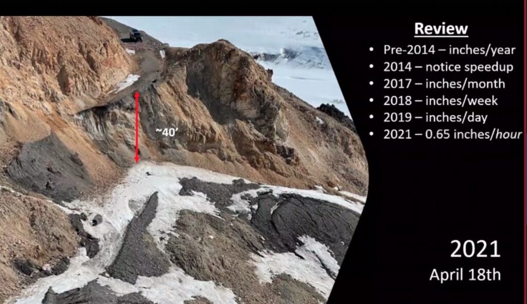
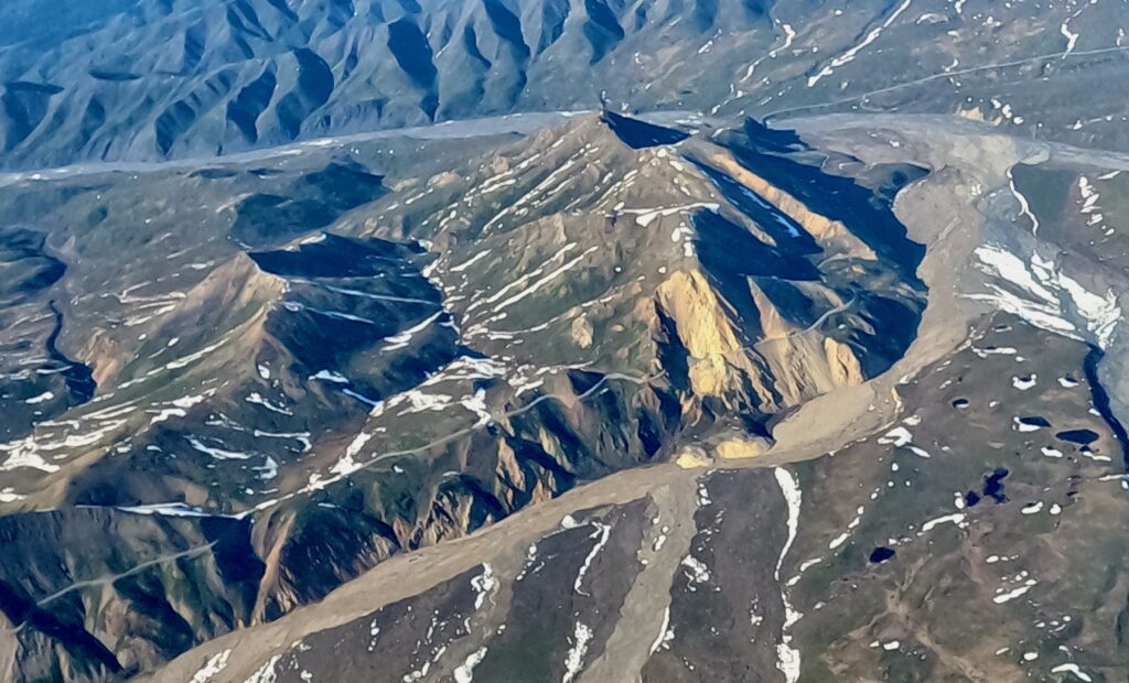
I took a closer look at the Pretty Rocks landslide in 2 ways this summer. First, I went on a flight seeing tour into the park in June, and got a birds-eye view of it. No longer just slumping, the road has now disappeared.
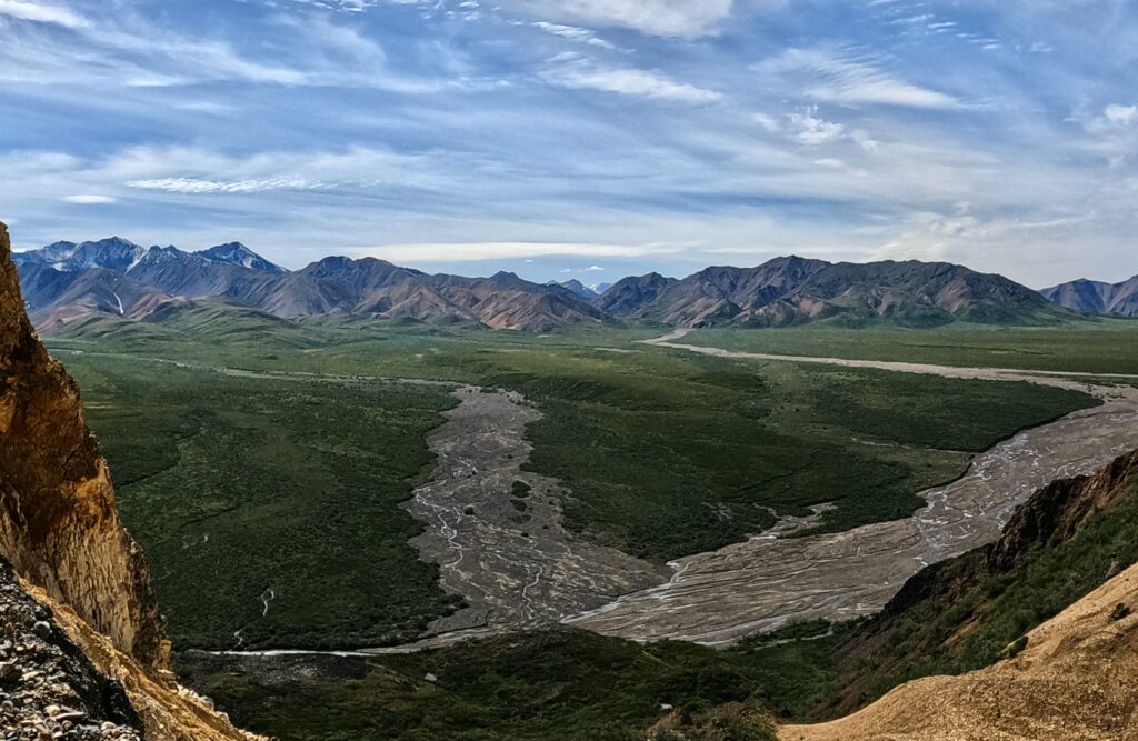
I had a few friends taking transit bus (meaning it’s not a guided tour) out to mile 42 at the East Fork of the Toklat River (the turnaround point for all tours starting this summer) and walk the mile out to the Pretty Rocks landslide in the Polychrome Overlook area. I had an opening in my schedule, and the weather looked glorious, so I decided to take the bus ride into the park on July 29, timed nicely as it was right before they closed access to see the landslide.
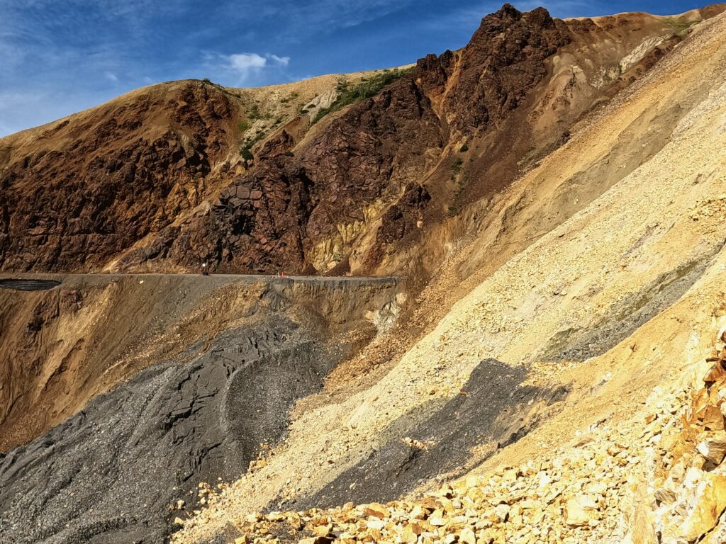
The first thing that I noticed was that there was definitely no evidence there was a road there at mile 43. The ledges were legitimately steep with a ~40-foot cliff. Not just “I might fall,” but like, “I might plummet to my death where all 200+ bones in my body break.”
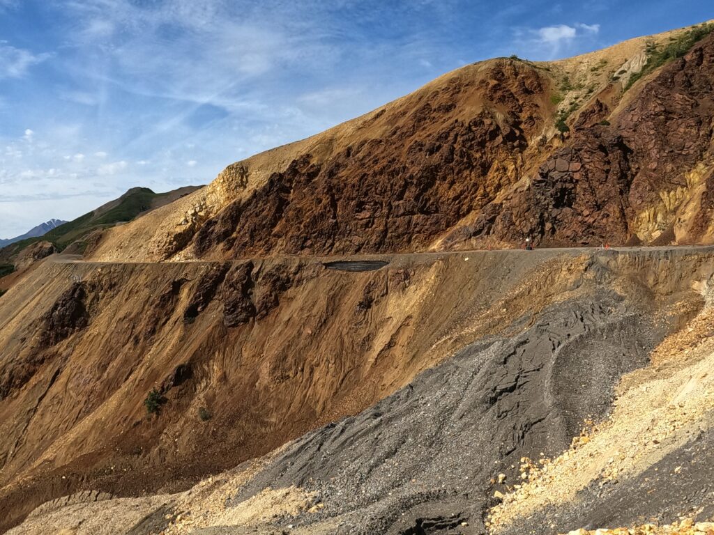
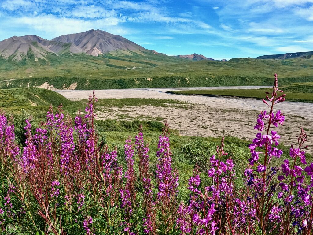
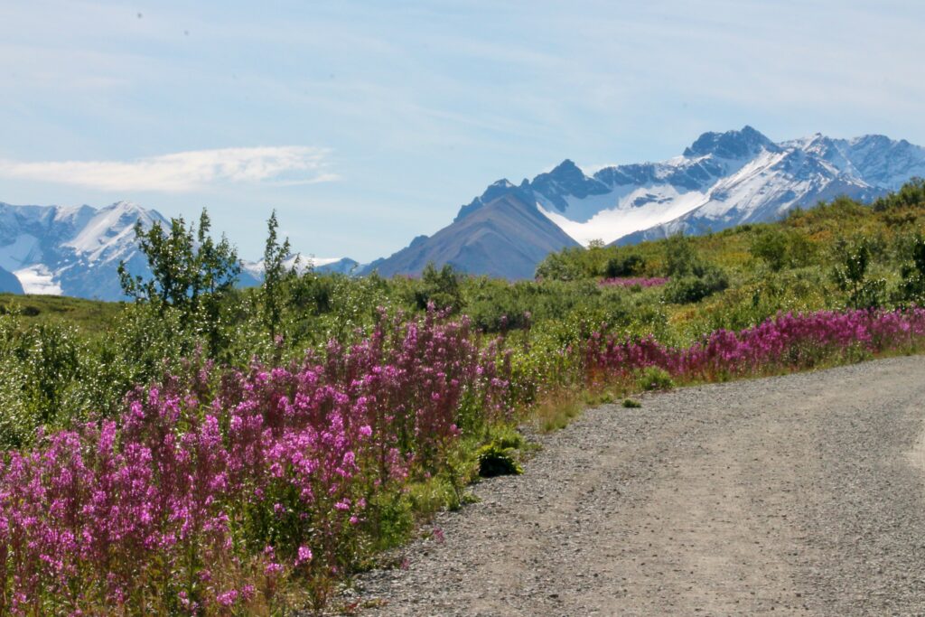
I was so pleased with my decision not only because seeing the landslide in person gave me a greater appreciation to its severity, but also because it was a bluebird day in the park. I always love how the park landscape varies as you get higher in elevation (East Fork is at about 4,000 feet). The spruce forest wanes as the rolling tundra takes over. All along, you can trace the contours of the serrated ridges along with the smooth-as-silk rock faces. Then at my turnaround at the East Fork, the fireweed was just at its peak.
Anyway, the fate of the road reopening remains to be seen, but I will keep you posted as things develop.


